An Urban Designer's Guide to Downloading CAD Blocks
Free street tree, vehicle and accessibility CAD blocks for masterplans and streetscape drawings, plus scale tips for site wide plans.
Sumana KumarUpdated 29 March 20265 min read
Masterplan drawings are mostly about believable scale
Urban design sits at a scale where the individual pieces, a parked car, a street tree, a pedestrian, matter less for their own sake than for what they tell a reader about how big everything else in the drawing actually is. I've laid out enough masterplans to know that a streetscape section or a site wide plan reads as credible or amateur almost entirely based on whether the cars, trees and people scattered through it are sized correctly relative to the buildings and roads around them, so getting those context blocks right is honestly more important at this scale than getting the buildings themselves perfectly detailed.
A planning committee reviewing a masterplan for the first time will often form their gut impression of the whole scheme within the first thirty seconds of looking at the plan, and a car that's obviously too big or a tree that's obviously too small undermines that first impression before you've said a word about the actual design intent. I treat context block accuracy as part of the actual design work now, not a finishing touch added at the end, since a scheme that reads confidently at first glance tends to get a more generous, more open minded hearing from a review panel.
Street furniture and context blocks worth keeping on hand
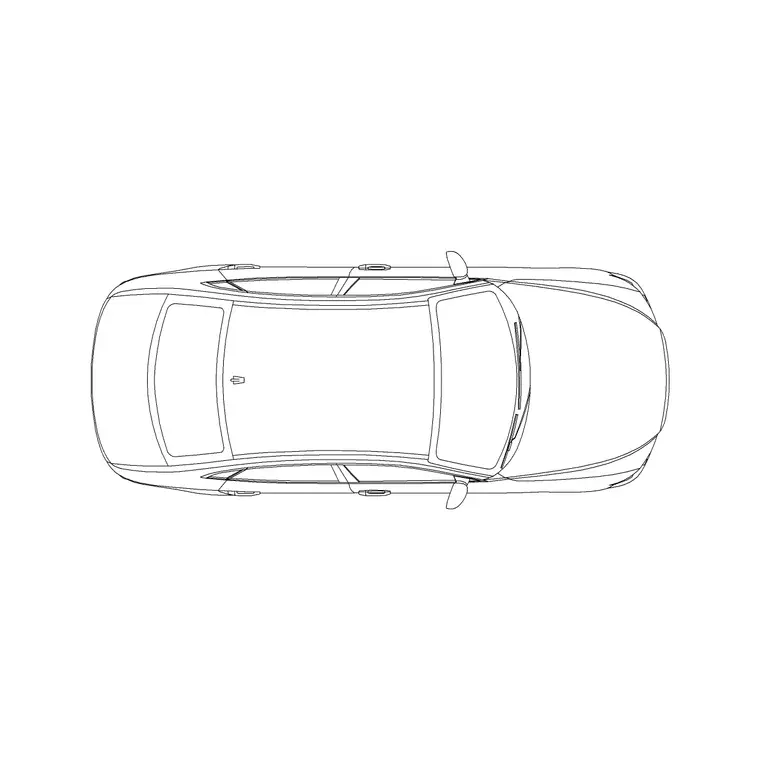
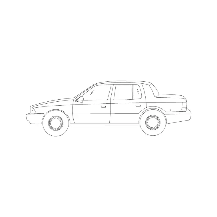
The sedan car block from cadblockdwg.com's Vehicles category is one I use on nearly every masterplan, since a correctly scaled car dropped into a street section or parking layout immediately calibrates the eye for everything else in the drawing, and a typical sedan reads somewhere in the 4.5 to 5 metre length range, which is a useful gut check figure to keep in your head when you're eyeballing a plan for obvious scale problems.
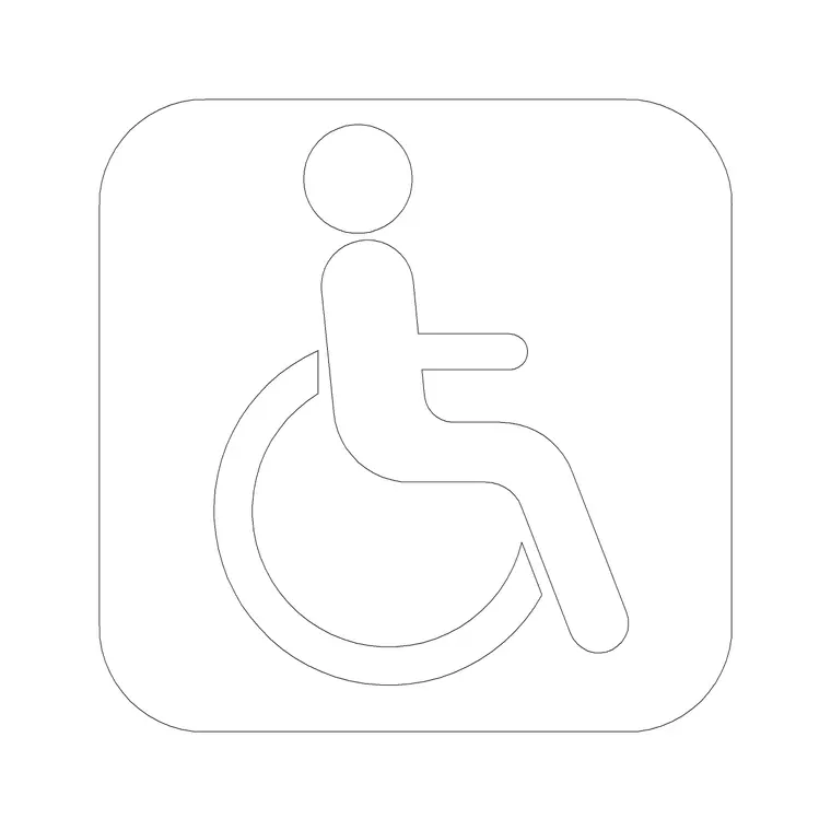
For street trees and boulevard planting, the pine elevation block from Trees & Plants gives you a realistic canopy silhouette to test sightline and shading studies against, which matters a lot more in urban design than it might seem, since street tree canopy directly affects both pedestrian comfort and sight distance at intersections. For pedestrian accessibility along a streetscape, I'll also pull the wheelchair accessible block from Building Symbols into key crossing points and transit stops, since checking dropped kerb and tactile paving clearance against a properly scaled figure catches accessibility gaps in a masterplan long before it reaches detailed design.
Working at masterplan scale without losing accuracy
Set your drawing units to metres for anything site wide, and work at 1:500 or 1:1000 depending on the size of the area you're covering, dropping to 1:200 for a detailed streetscape section. Because you're often compositing dozens or hundreds of context blocks across a large site, I'd recommend inserting one of each block type once, checking its scale against a known site dimension, a typical two lane street width including footpaths runs somewhere around 15 to 20 metres kerb to kerb depending on standard, then array or copy from that verified original rather than re-inserting fresh copies of the same block repeatedly, which is both slower and more error prone.
This verify once, copy many times approach also protects you from a subtle failure mode where a fresh insert from a different source file quietly carries a different internal scale to the copies already sitting in your drawing, something that's genuinely hard to spot visually across a busy masterplan until a reviewer measures against the wrong instance.
Dog parks, pocket parks and the small human scale elements
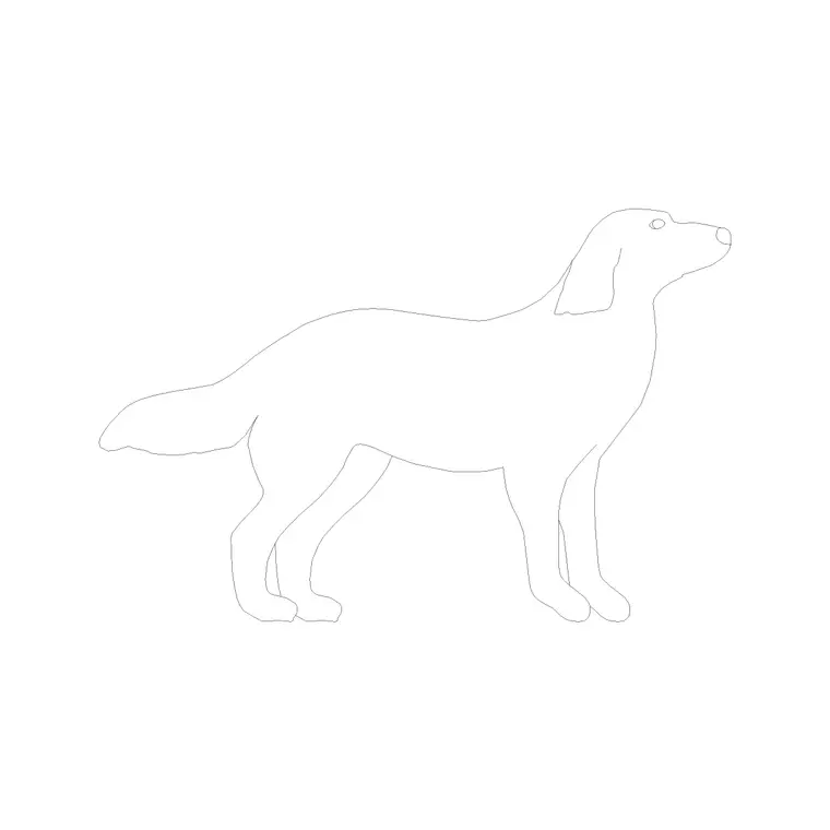
A surprising amount of contemporary urban design work now includes dedicated dog relief areas and pet friendly pocket parks as a named programme element in a masterplan, and having a dog block on hand, like the one filed under Animals on cadblockdwg.com, is a small but genuinely useful addition when you're testing whether a proposed dog park's fenced area actually reads at a usable scale rather than being an afterthought squeezed into leftover space.
It's a minor detail in a large masterplan, but these are exactly the kind of human scale elements that reviewers and community consultation groups tend to notice and comment on, and a well scaled dog park drawn convincingly into a public presentation plan tends to land far better with a community audience than a generic green blob labelled dog park with no sense of how the space would actually feel to use.
Layering a masterplan for different audiences
A masterplan almost always gets presented to multiple audiences, a planning committee, a community consultation session, an engineering review, and each wants a slightly different version of the same base drawing. I keep vehicles, trees, pedestrian figures and accessibility symbols on separate layers so I can generate a landscape focused version for a community session by isolating trees and pedestrian context, or a technical version for the engineering review by isolating roads, vehicles and clearances, all from one coordinated master file rather than maintaining several disconnected drawings that inevitably drift out of sync with each other.
This single file, multiple output approach also makes late stage revisions far less painful, since a change to a road alignment only has to be made once and then flows through to every derived version automatically the next time each layer set is isolated and plotted.
Where these context blocks fit into the bigger picture
At the end of the day, urban design sits closer to [landscape architecture](https://en.wikipedia.org/wiki/Landscape_architecture) than most people outside the field appreciate, since so much of what makes a masterplan actually work on the ground comes down to planting, shade and pedestrian comfort rather than building form alone. The free DWG context blocks won't replace a proper traffic study or a detailed landscape plan, but they're genuinely useful for testing whether a concept holds together at a glance, before you commit the time to a fully resolved [computer-aided design](https://en.wikipedia.org/wiki/Computer-aided_design) model with every element modelled to final spec, and for a fast moving early stage masterplan, that quick credibility check is often exactly what's needed to move a scheme forward to the next round of funding or approval. I'd still recommend handing the concept off to a landscape architect and a traffic engineer for detailed resolution once it's approved in principle, since the context blocks are there to sell an idea convincingly, not to substitute for the specialist calculations that eventually have to back it up.
Further reading
Questions
Frequently asked
What scale should an urban masterplan be drawn at?+
Site wide masterplans typically work at 1:500 or 1:1000, while detailed streetscape sections are usually clearer at 1:200. Set your drawing units to metres before inserting context blocks at either scale.
Why use scaled car and tree blocks instead of drawing simple shapes?+
Correctly scaled context blocks calibrate a reader's eye for the whole drawing. A sedan car reading at roughly 4.5 to 5 metres long instantly tells a viewer whether the street, the setback and the building height around it are believable, which a rough rectangle can't do.
Are there CAD blocks for dog parks or pet friendly urban spaces?+
Yes, a dog block is available under the Animals category on cadblockdwg.com, useful for testing scale and layout on dedicated dog relief areas or pocket parks within a larger masterplan.
Free downloads from this article

Free CAD block library
Download the blocks from this article — free, no signup