CAD blocks you need before submitting a planning application
The exact set of CAD blocks that make a planning application drawing set read as complete: north arrows, parking bays, boundary treatment and paving.
Sumana KumarUpdated 30 May 20266 min read
What a planning officer is actually scanning for
I've put together enough planning application sets to know that the person reviewing your drawings on the other end is not admiring your hatching, they're scanning for a specific checklist in about ninety seconds per sheet, and if the obvious things aren't there you get a validation query before anyone even looks at the design. That means the boring background elements, the north point, the scale bar, the boundary line, the parking layout, carry almost as much weight as the building itself in that first pass. A site plan or block plan without a clearly labelled north arrow is one of the most common reasons a submission gets bounced back as invalid, and it costs you two or three weeks of sitting in a queue for something that takes thirty seconds to fix.
So before you touch the actual proposal drawing, it's worth building a checklist of the supporting graphic elements you need on every sheet, because these are the things that get forgotten when you're deep in the design and rushing toward a submission deadline.
The site plan essentials: north point, scale, boundary
Every location plan and block plan needs a north point, and most planning portals will flag a submission that's missing one, so this is not optional. You'll find a clean arrow block on cadblockdwg that drops straight onto your site plan layer, and the trick is sizing it consistently at whatever plot scale you're working at, typically 1:1250 for a location plan and 1:200 or 1:100 for a block or site plan, so it doesn't look like an afterthought scaled to fit a gap.
Alongside the arrow you need a graphic scale bar and the boundary line itself drawn as a heavy polyline, usually red for the application site edged in the colour your local authority's validation checklist specifies. This sounds basic and it is, but I still see submissions where the boundary was copied from an old survey and doesn't match the title deed, which triggers a query almost every time.
It's also worth being consistent about how you distinguish existing from proposed work across the whole set, a dashed or grey lineweight convention for anything being demolished or already present, solid black or a tint for new work, because a planning officer flicking quickly between a site plan and an elevation is relying on that visual convention holding steady across every sheet, and a set where one drawing uses dashed for existing and another accidentally uses dashed for proposed is a fast way to generate a query asking you to clarify what's actually being demolished versus retained.
Parking, access and the accessible bay
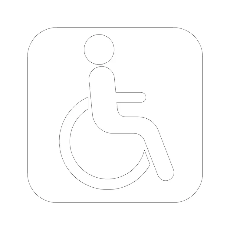
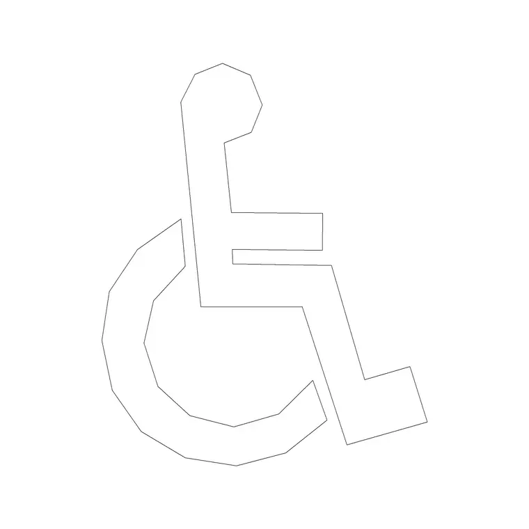
If your scheme includes any off street parking at all, even two spaces for a house extension, most local planning authorities now expect at least one bay shown to accessible dimensions, wider than a standard bay with a hatched access zone alongside it. The wheel chair accessible symbol block is the fastest way to flag that on a drawing without drafting the ISA logo and hatching from scratch every time, and it reads instantly to a reviewer who's flipping through forty applications that week.
Don't just drop the symbol in the middle of a generic rectangle either, the bay itself needs the extra width, typically in the wider range you'd see for accessible parking guidance, plus a marked transfer zone, and showing that correctly on the drawing is often the difference between a clean validation and a request for further information about disabled access provision.
Boundary treatment and hard landscaping
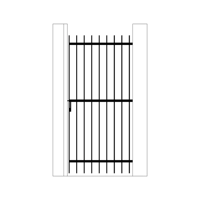
Planning departments care a lot about what happens at the edges of a site, so gates, fences, walls and driveway surfacing usually need to be shown and sometimes called out with a materials note. An iron gate block dropped onto the boundary line at the vehicle entrance, with a swing arc if it opens inward, communicates access and security intent far better than a plain gap in the boundary line, and for period properties or conservation areas a wrought iron gate is often specifically what the design officer is expecting to see referenced.
For hard landscaping, a paving block gives you a realistic module and joint pattern to fill a driveway or path area rather than a flat hatch, which matters because sustainable drainage and permeable paving are now a genuine line item on a lot of validation checklists, and showing the paving pattern, even schematically, signals that you've thought about surface water rather than just filling in a shape.
Common validation rejections tied to missing blocks
The recurring rejections I see are almost always the same handful: no north point, no scale bar, boundary not clearly distinguished from adjoining land, no indication of accessible parking where parking is proposed, and no boundary treatment shown where a new access is created. None of these are design failures, they're drafting oversights, and every one of them is solved by having the right block in your library and a habit of checking for it before you export the PDF.
It's worth keeping a personal template drawing with these blocks pre inserted on locked reference layers, so a new site plan starts from a sheet that already has north arrow, scale bar and a spare accessible parking symbol sitting off to the side ready to be copied into position, rather than hunting for them fresh on every project.
Tree protection is another recurring gap, since a survey showing existing trees is only half the requirement on a lot of validation checklists, the root protection area around anything being retained near the works also needs to be shown, typically as a fenced exclusion zone on the site plan, and a submission that shows the trees themselves but skips the protection zone around them tends to get flagged just as often as one that omits the trees entirely.
Pulling it together quickly
At the end of the day a planning submission drawing doesn't need to be beautiful, it needs to be complete, legible and consistent with the written description in your application form. Grab the arrow, wheel chair accessible symbol, iron gate and paving block from the building symbols, doors and paving categories on cadblockdwg, they come as DWG and most as DXF too, so whether you're on AutoCAD or something reading via the Open Design Alliance libraries, they'll drop straight in on INSERT without a conversion step.
Given that DWG remains the working format that most UK and international planning portals expect for the CAD backup files alongside your PDF, keeping native DWG blocks in your library rather than screenshotting someone else's drawing saves you a rebuild later when a reviewer asks for the CAD file directly.
Keep line weight conventions consistent across every sheet in the set too, not just within a single drawing, since a north arrow or accessible parking symbol drawn at one weight on the site plan and a noticeably different weight on the block plan reads as sloppy even when both individual drawings are technically correct, and a validation officer forming a quick impression of a submission's overall care is more likely to look closely for other errors once one inconsistency like that catches their eye.
Further reading
Questions
Frequently asked
What scale should a planning application site plan be drawn at?+
Most local authorities want the location plan at 1:1250 or 1:2500 and the site or block plan at 1:100 or 1:200, though it's always worth checking the specific validation checklist for your authority since a handful vary this.
Do I need to show existing trees on a planning drawing?+
Generally yes, especially anything near the proposed works or boundary, since removal or protection of trees is something planning officers check closely, and a tree block on the survey layer makes this legible at a glance.
Can I submit DWG files directly with a planning application?+
Many portals accept DWG or DXF as supporting CAD files alongside the required PDF, and having native DWG blocks in your drawing means you're not scrambling to rebuild anything if a case officer asks for the source file.
Free downloads from this article

Free CAD block library
Download the blocks from this article — free, no signup